| Hiking is something I didn't do until coming to Tucson. But with the arid air clarity of the desert, spectacular peaks and uncrowded canyons all around, how could I not take advantage of this unique opportunity to explore? | 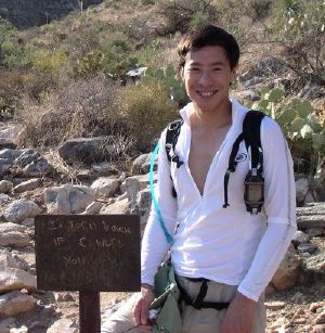
{Picture taken by Jim Montgomery.] |

{Google Earth file: PuschPeak.kmz]
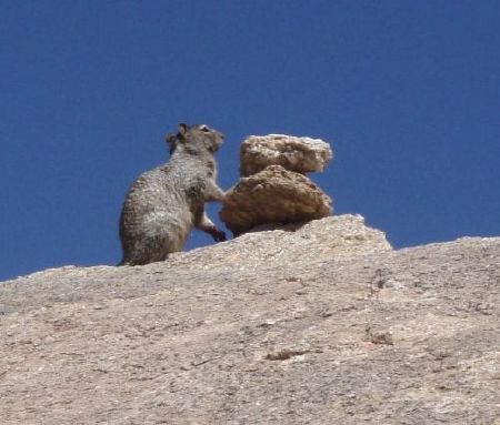
About a 825m (2700ft) rise in 2 miles (3.2 km), it's a half-day hike. (For more details, include topo information, see my webpage.) The scenery and vegetation changes from winter, to spring and summer. Last Saturday, I was lucky enough to spot a squirrel on a rock near the top:
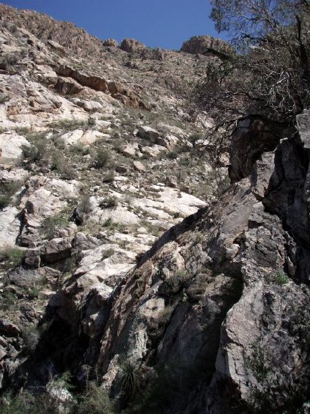
Though the hike can be steep:
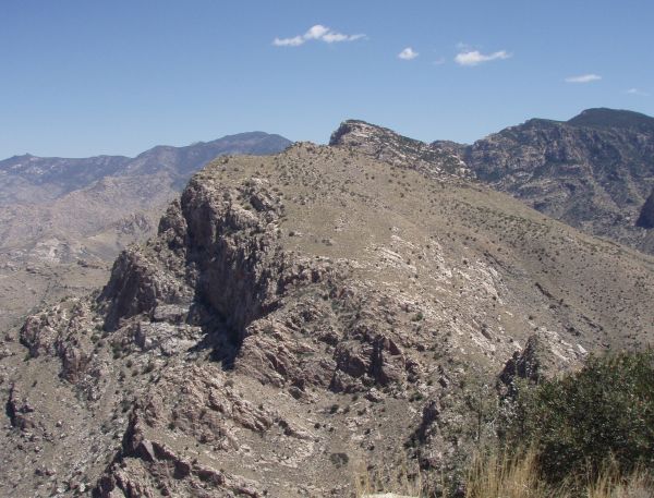
the rewards for making the 2 miles make it worthwhile. View of Bighorn Mountain from the top, compare with Google Earth image above:
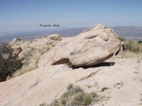
Looking north, Picacho Peak (tiny) in the distance:
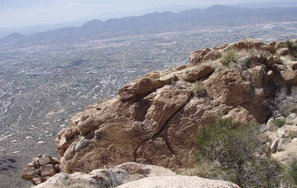
Looking southwards, Tucson:
It's hard to capture the scale and immersion of the canyons and peaks with conventional 2D camera technology. One day I plan to get a digital SLR and panohead and make 3D QT VR pictures.

Nice photos and narrative. This photo
ReplyDeletehttps://www.flickr.com/photos/sonoradick/14517360196/in/set-72157645026047407
was taken from the Westward Look Resort on Ina Road. Is one of these Pusch Peak? Bighorn Mountain? Table Mountain?