Question: you have multiple measuring devices, which do you trust?
(Answer is none.)
Here's the story. Today was a beautiful day. 70F and sunshine.
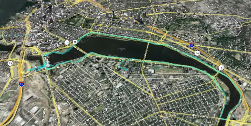
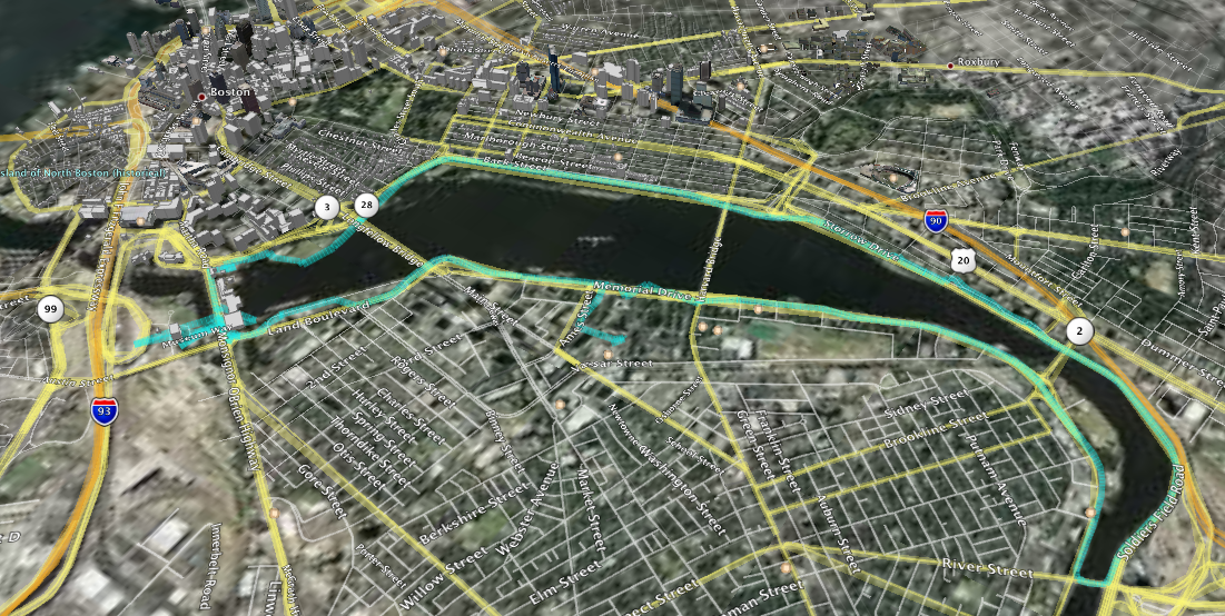
I just ran the Charles River loop between the Museum of Science and River St bridges fully instrumented.
Full image
here
This is the route recorded by my Garmin Etrex Vista Cx in my back pocket. I also had my Apple iPod Nano with the Nike+ kit.
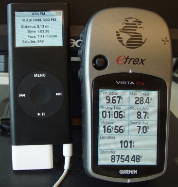
The Nano computes speed/distance by measuring foot strike time. It overestimates my distance by about 5% usually. But I don't bother to recalibrate it because it would depend on the running surface: treadmill, grass, hard mud, gravel, tarmac, concrete all affect the foot strike time differently.
Clearly, there are some issues with the GPS data points recorded. I'm pretty sure I can't run at nearly 30 mph.
Zooming in at the Museum of Science reveals some oddities:
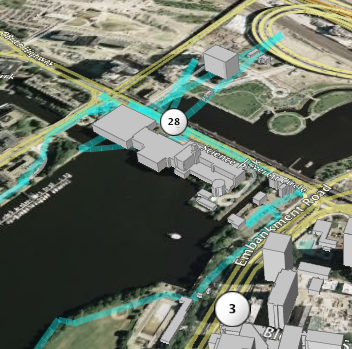
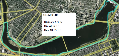
According to the tracklog, I've been doing some impossible zipping around. Of course, we need to delete those outlier points. Google Earth then reports:
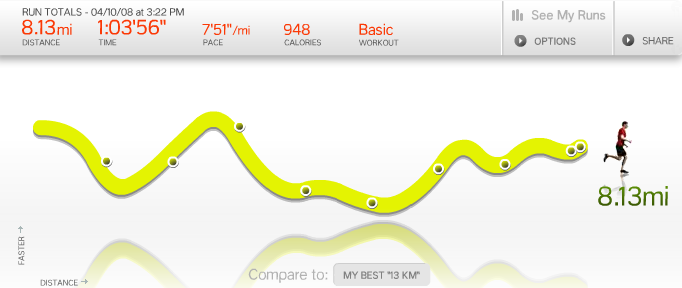
The Nike+ kit doesn't record every footfall. It saves a reading every 2 seconds and performs lots of smoothing:
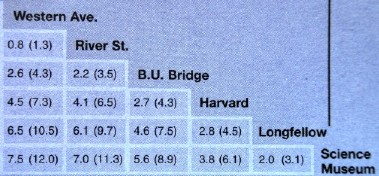
Finally, there is a well-known reference guide to this course (probably obtained by someone with a measuring wheel):
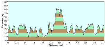
Summarizing, we have:
| Source
|
Distance
(miles)
|
| Garmin tracklog
|
9.66
|
| Google Earth
|
8.9
|
| iPod Nano Nike+
|
8.13
|
| My best estimate
|
7.6
|
| Reference table
|
7.0
|
I didn't run the exact reference course, which is a good lower bound.
Additional mileage included running from the MIT Stata Center out to Memorial Drive.
(Plus I had to double back at one point since a gate was locked.)
So I can't rely solely on the reference table.
Lesson? The GPS isn't too reliable in this urban environment. As it turns out, the lower tech device (Nike+ kit @ $30 + iPod Nano) is closer to the ground truth.
The possibility of bad track points (e.g. from interference) means that on a short run you have to inspect the GPS tracklog that's recorded. Wish there was filtering software built into the Garmin.
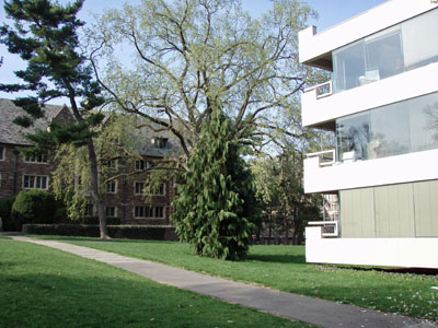
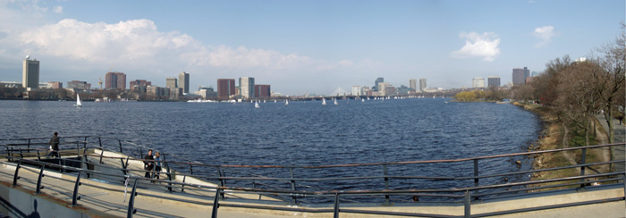
 Juxtaposition of new and old:
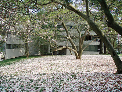
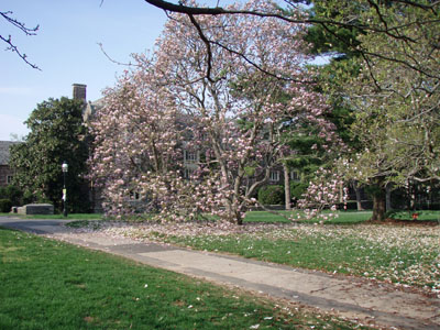
 Spring bloom of magnolias:
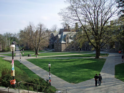
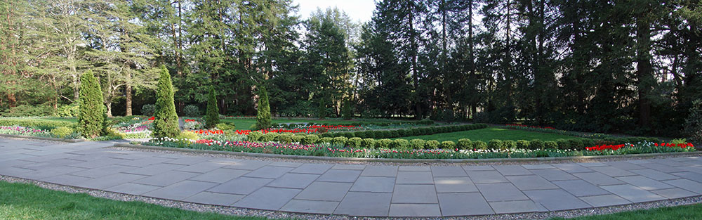
 Well-placed trees:
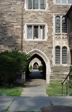
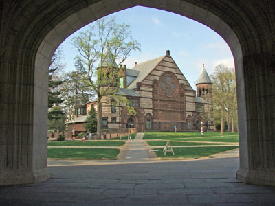
 Through an archway:
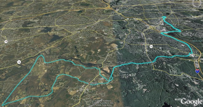
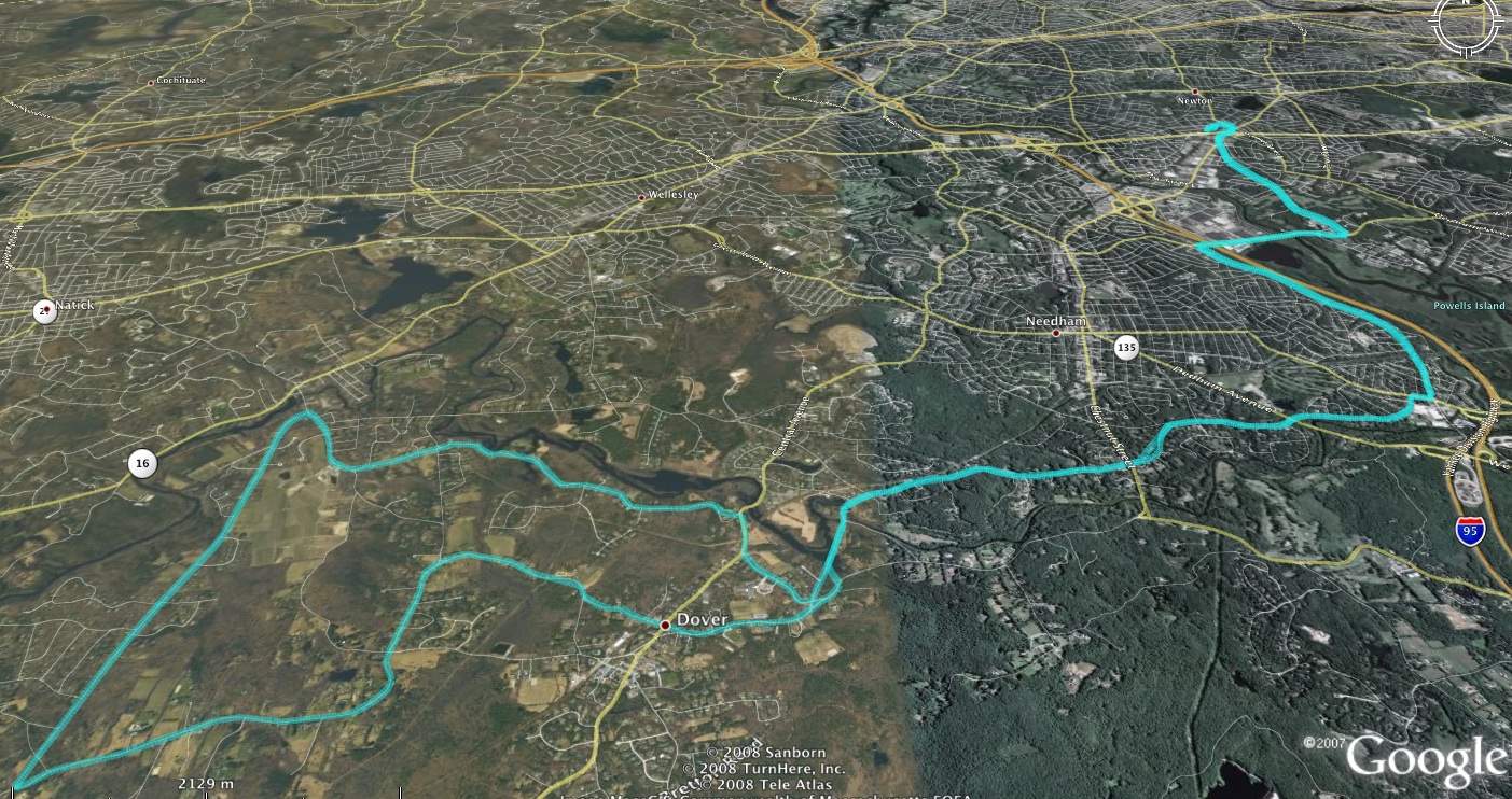
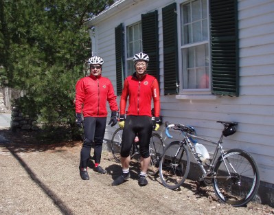 A quick opportunity to get a short and leisurely 28 mile loop before temperatures plummet again and the rain moves in.
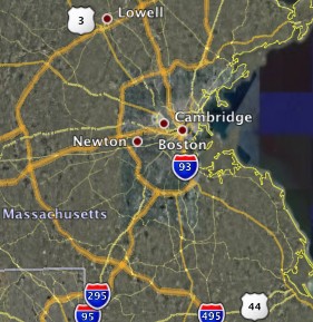
Unlike out west (Arizona), New England has the advantage of having a dense network of backroads. Given local knowledge, it's possible to put together a beautiful and relatively traffic-free ride in a major metropolitan area. A friend, Pete Hausner, showed me one such route from his place in Newton.
A quick opportunity to get a short and leisurely 28 mile loop before temperatures plummet again and the rain moves in.
Unlike out west (Arizona), New England has the advantage of having a dense network of backroads. Given local knowledge, it's possible to put together a beautiful and relatively traffic-free ride in a major metropolitan area. A friend, Pete Hausner, showed me one such route from his place in Newton.
