
Although it's a nice 1.2 mile walk up to the Tri-State Peak located inside the Cumberland Gap National Historical Park, it's a bit of a disappointing hike: trees and other vegetation block any chance of a scenic view.
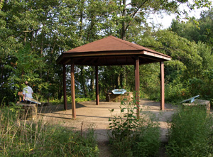
Nestled in a clearing lower down, however, is the surprisingly photogenic (almost Mayan temple-like) remains of an Iron Furnace:
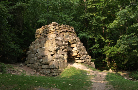
Given my recent interest in 360° spherical panorama photography (see recent blog entry tech and subjects: The Stata Center and The Getty Museum Los Angeles), I couldn't resist the opportunity to make a panorama at this spot. Download here. (Warning: 12.1MB file. You can view this using Quicktime player.) Anyway, I was here to visit my good friend Jim Montgomery who has recently moved to this hilly and very rural - let's just say dining-opportunity-limited - corner of southwestern Virigina bordering Kentucky and Tennessee. The upsides are the gorgeous scenery and almost empty roads in pristine condition (a consequence of the lack of real winter, population and truck traffic I reckon). In short, a perfect "secret" location for bike training. On Jim's porch:
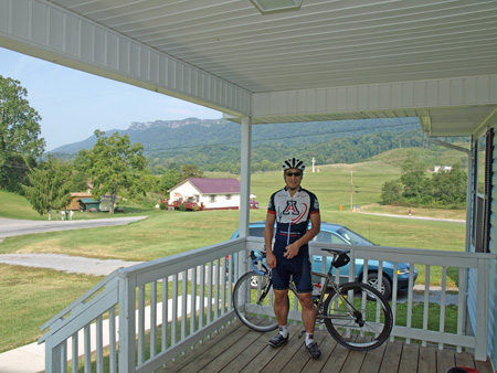
jim led me on a perfect 25 mile training loop from his home in Rose Hill VA with about 1700 ft of climbing. The GPS tracklog recorded on my Garmin eTrex Vista Cx:

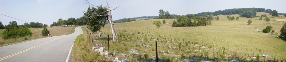
I wish I had more time to explore the region on my bike but the start of a new semester in Tucson cannot be delayed. For example, the Cumberland Gap tunnel "crosses" - or is it also appropriate to use the semantically-bleached terms "bridge" or "thread"? - the mountain ridge that can be seen in the background. In particular, I'd like to try the (presumably abandoned) mountain road it replaced. Another Wikipedia entry states:
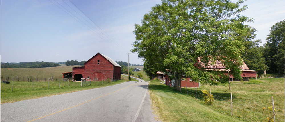
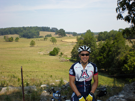
The tunnel replaced a 2.3-mile (3.7 km) stretch of U.S. 25E between Middlesboro, Kentucky and Cumberland Gap, Tennessee that became known as "Massacre Mountain" due to the large number of travelers killed on the twisting mountain road over the Cumberland Gap pass.Anyway, some pictures from the ride are shown below - I'd have to rate the route as equal or better to my favorite Valley Forge PA area hill route I used to ride but without the traffic and with far better roads.

No comments:
Post a Comment