Sometimes I forget, but there is a world-class road climb right on the edge of town.
It's called Catalina Highway and it climbs Mt Lemmon.
Stats? Start at the intersection of Tanque Verde and Catalina Highway (alt: 2550 ft, 778m).
It tops out in Ski Valley (alt: 8350 ft, 2546m). A bit over 30 miles long. A (5800 ft, 1768m) climb. Looking to go under the 3 hour mark with moderate fitness, under 2:30 if in real shape.
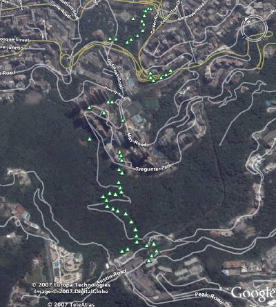
See the GPS route plotted on Google Earth:
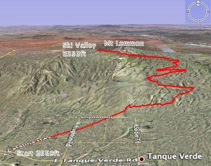
{Click
here for a larger image.]
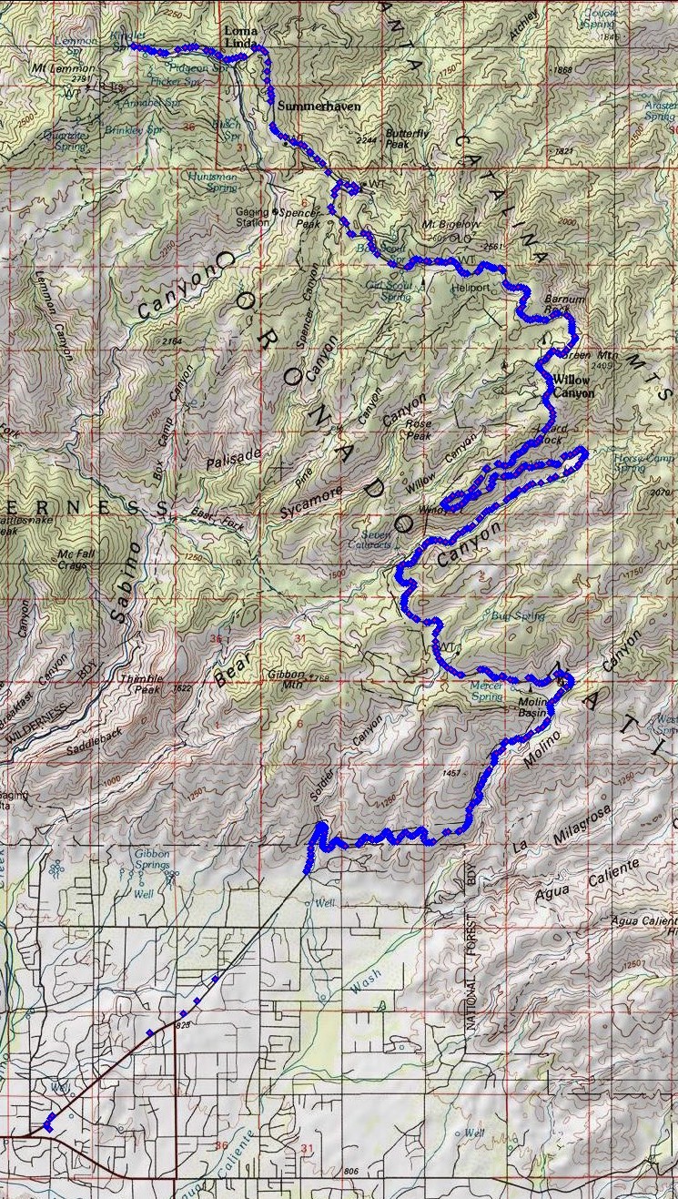
See the GPS waypoints plotted on National Geographic Topo!:
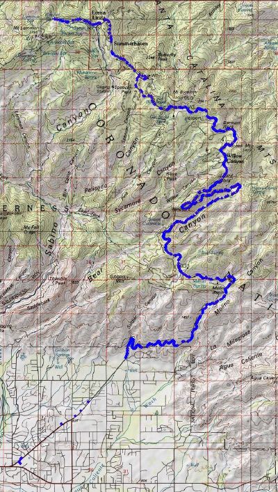
{Click
here for a larger image.]
In summer, the temperature in Tucson regularly reaches 40C (over 100F). Climbing Mt Lemmon can make sense in this heat.
Start early in the morning, say 7:30am when the temperature is in the 20s (70sF). When the temperature reaches 40C,
you will be at the top of the mountain where the temperature is likely to be 23C.
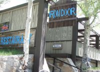
Unfortunately, this year travel and catch-up when home have taken their toll on bike fitness no matter how much I swim and run. But with a major event coming soon in June, I need to see where I am on the fitness curve. So today, I climbed to Ski Valley and had a late breakfast at the Iron Door restaurant.
Here are some of the checkpoints and baseline fitness marks I use. I carried 60oz of water, just enough to not need refilling.
Named
Section |
(Approx)
Mile marker |
Notes |
| Warm-up |
4.5 miles (up to mile marker 0) |
Straight and relatively flat before entering the Coronado National Forest. |
| Windy Point Vista |
mile marker 14 |
Almost halfway. About 6000ft up.
Baseline Timecheck: 1:50 (hr:mins).
Turn back here if fitness has deserted you. |
| Summerhaven |
mile marker 25 |
Turn right to keep climbing to Ski Valley.
Baseline Timecheck: 2:50 (hr:mins) |
| Ski Valley |
mile marker 27 |
Steepest section of the road to the top. Irondoor restaurant at Ski Valley. Ski lift can take you to 9157ft (2791m).
Baseline Timecheck: 3:00 (hr:mins) |
Tech:
|
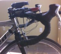
I used a small Magellan eXplorist 600 GPS receiver mounted on the handlebar stem.
The eXplorist has a USB interface which allows the device to appear like a hard drive to the computer. Files can be simply copied off the device for processing.
It records a tracklog, each line of which looks something like:
|
 |
$PMGNTRK,3215.545,N,11047.879,W,00778,M,142226.79,A,,130507*61
The Magellan file format has to be converted into KML (Keyhole Markup Language) for Google Earth. GPSBabel+ is free software that can do this automatically.
For National Geographic Topo!, I reformat the lat/long fields slightly (as shown below) and import directly via the Wizard.
$PMGNTRK,32.15545,N,110.47879,W,00778,M,142226.79,A,,130507*61
 The Vista Cx is being replaced by a more sensitive model with poorer battery life by Garmin.
 Details?
 As you can see, the Magellan struggles here to maintain 3-D coverage. Multipath off the tall buildings? Tree cover?
